
Real-Time Digital Solutions for Innovative Results.
Delivering highly accurate scanning, modeling, and subsurface locating services to support smarter decisions and safer projects.

Who We Are
Noble Precision Technologies is a federally certified veteran-owned small business (VOSB) with more than 14 years of experience delivering geospatial solutions, including Geographic Information Systems (GIS), 3D laser scanning services, and BIM modeling. With deep expertise in the energy, architecture, engineering, and construction industries, our team supports data-driven planning, design, and asset management for projects of every size.
We are USIBD Level of Accuracy (LOA) Certified and skilled in both terrestrial and UAV lidar acquisition, as-built documentation, and CAD modeling—providing precise, scalable data for everything from renovations to new construction.
We also specialize in subsurface utility locating and non-destructive investigation, offering GPR scanning, concrete assessment, leak detection, and void characterization. Our certified professionals include NULCA-accredited GPR Technicians and Locator Competency Certified utility locators, serving clients across the AEC, municipal, and industrial sectors.
What We Do
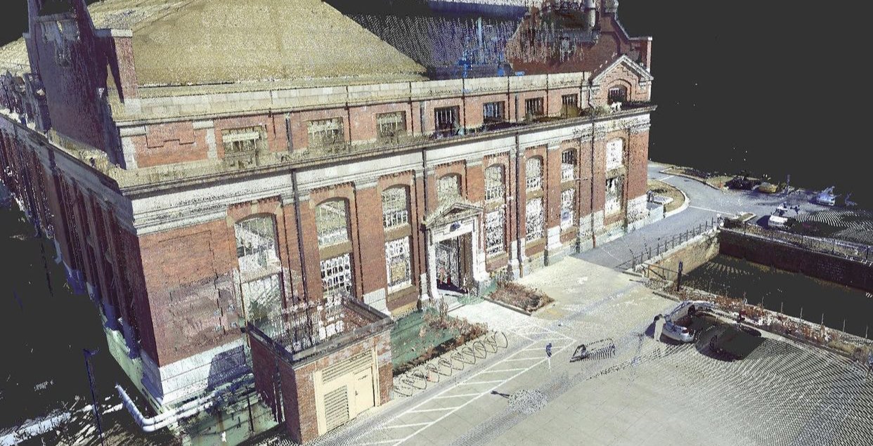
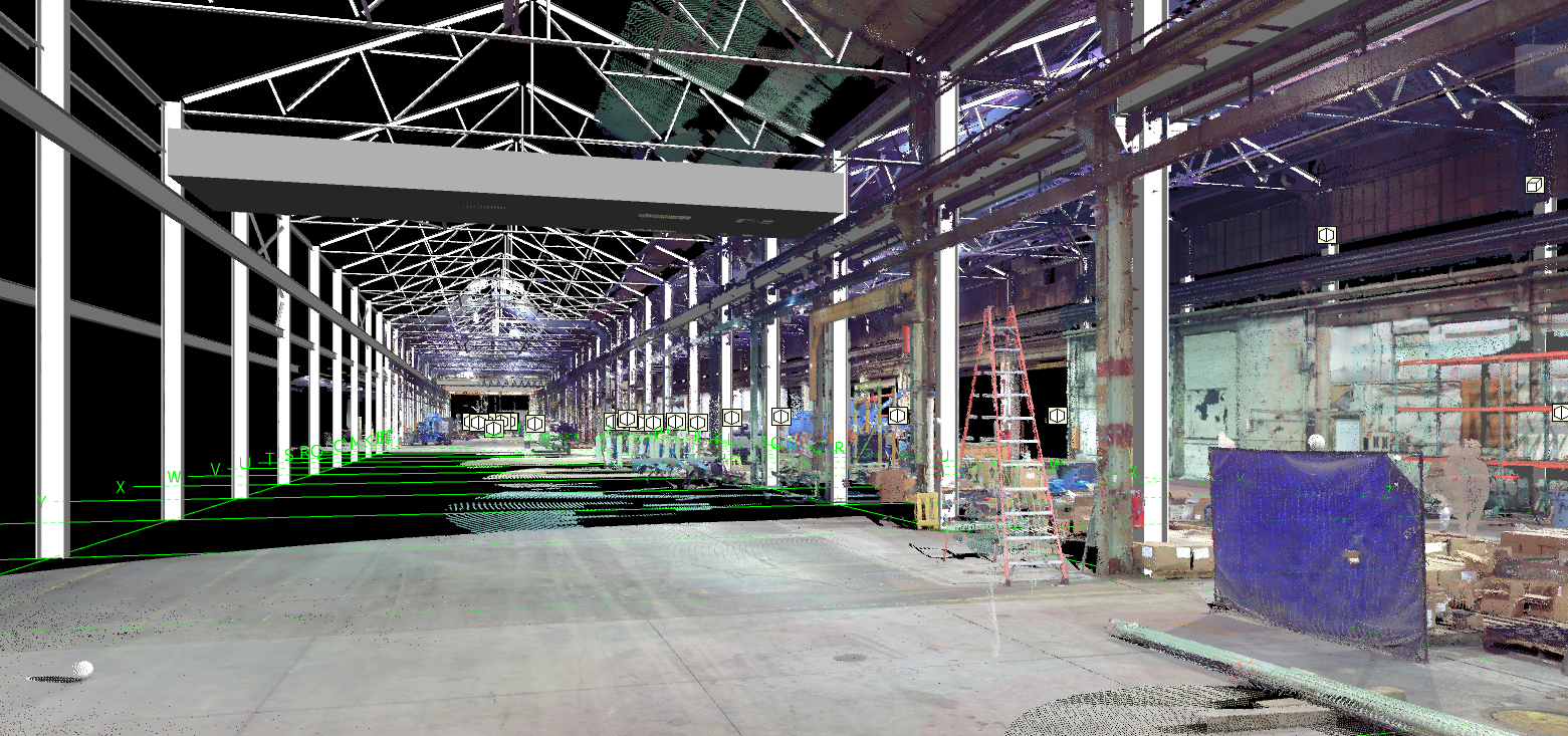
We deliver high-precision 3D laser scanning, BIM modeling, and subsurface utility locating services to support smarter planning, safer construction, and more efficient facility and asset management. Using industry-leading Leica scanning technology and advanced non-destructive investigation methods, we produce accurate, data-rich visualizations of site conditions—above and below ground.
Our 3D scanning and modeling capabilities include:
Terrestrial and UAV lidar acquisition and post processing
3D BIM modeling and rendering
Drafting and CAD conversion
Facility data integration modeling
Clash detection and coordination
3D virtual walkthroughs and digital twin creation
Our subsurface and inspection services include:
Utility locating and mapping
Ground penetrating radar (GPR) scanning
Leak detection and pipe inspection
Void and sinkhole characterization
Concrete scanning, testing, and structural analysis
All services are performed by certified technicians using best-in-class equipment, ensuring accurate, reliable, and actionable data for projects of any scale or complexity.
We proudly serve clients across the architecture, engineering, construction, industrial, utility, and municipal sectors, helping reduce risk, improve coordination, and optimize project outcomes from concept to closeout.

Working Together
We deliver an end-to-end project experience built on clear communication, technical precision, and responsive support—from initial scope to final deliverables. In addition to our in-house expertise in 3D laser scanning, BIM modeling, and subsurface utility locating, we collaborate with a network of trusted partners to offer multidisciplinary solutions tailored to the unique needs of each project.
Our strategic partnerships span the architecture, engineering, and construction (AEC) industries, as well as geophysics, facility inspection, and commercial and residential development. This integrated approach allows us to provide accurate field data, non-destructive investigation, and comprehensive geospatial services for projects ranging from infrastructure upgrades to building renovations.
Together, we deliver scalable, efficient, and high-precision outcomes—backed by a commitment to quality, safety, and long-term value.
Why Choose Us
At Noble Precision Technologies, we bring together deep expertise in energy, architecture, engineering, construction, and GIS to deliver accurate, actionable data that supports smarter planning, safer construction, and efficient asset management. Our multidisciplinary team understands the critical importance of reliable site intelligence—both above and below ground—at every project phase.
We offer a fully integrated approach through 3D laser scanning, BIM modeling, subsurface utility locating, and non-destructive investigation services. Our certified professionals are trained in advanced VDC technologies, including 3D laser (lidar) scanning, ground penetrating radar (GPR), and electromagnetic locating—ensuring precise data collection and risk mitigation across all project types.
Through strong partnerships and a collaborative mindset, we deliver a seamless, end-to-end client experience—from scope definition through final deliverables—serving clients in AEC, municipal, industrial, and infrastructure sectors.
Contact Us
Get in touch for more information.