Precision-Driven Solutions Across Industries
At Noble Precision Technologies, we provide high-precision scanning, modeling, and subsurface locating services to a diverse range of industries. Our team supports every stage of the project lifecycle—from planning and design to construction, inspection, and long-term asset management. Whether above or below ground, we deliver the data clients need to work smarter, build safer, and reduce risk.
As a federally certified veteran-owned small business (VOSB) with extensive technical expertise and a network of trusted partners, we bring scalable solutions to public and private sector clients worldwide.
-

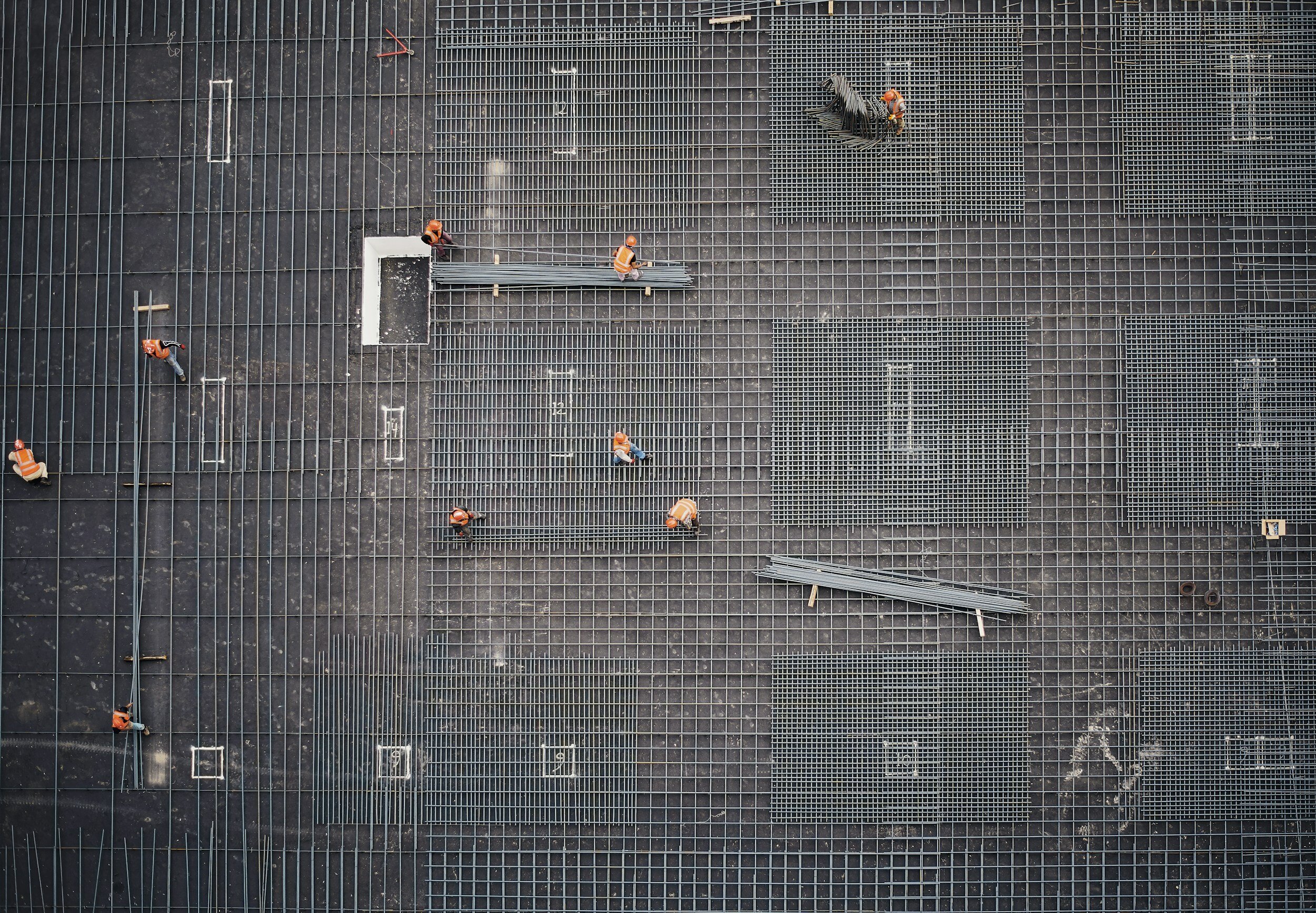
Architecture, Engineering & Construction
We support AEC professionals with comprehensive services that include 3D laser scanning, BIM modeling, CAD drafting, utility locating, and concrete scanning to deliver accurate, actionable data throughout the project lifecycle. From pre-design through construction closeout, we help teams reduce rework, minimize risk, and streamline coordination across trades.
For general contractors and construction managers, our solutions aid in site validation, layout verification, and real-time clash detection. Subsurface utility locating and concrete scanning ensure safe excavation and anchoring, while our high-definition scans provide reliable as-built documentation for progress tracking, QA/QC, and final turnover.
-

Municipalities & Public Works
We support municipalities, public utilities, and water management agencies with accurate, non-invasive data for infrastructure planning, asset management, and long-term operations. Our services include 3D laser scanning, utility mapping, leak detection, and digital twin modeling, all tailored to reduce project costs, improve safety, and increase operational efficiency.
Our scanning and subsurface locating solutions aid in right-of-way planning, permitting, and infrastructure upgrades, while our high-accuracy models support engineering, fabrication, and construction efforts across treatment plants, pumping stations, and waste management facilities.
-

Industrial
Energy facilities, sites and plants are typically in full operation 24 hours a day, 7 days a week and cannot be shut down for long periods of time to complete maintenance, equipment changeout, or inspections. 3D laser scanning services can identify possible issues, such as weaknesses or damage to pipe systems before breaks or leaks occur. Our services can also provide thermal imagery to detect current leaks so staff can know exactly where to focus maintenance efforts. Our services also provide intensity imaging, which allows customers to visualize deformities and irregularities in holding tanks and other structures. The 3D point clouds can be utilized for offsite fabrication and as-built modeling to expedite installation and minimize downtime to continue operations.
-

Commercial / Residential Real Estate
Our 3D laser scanning provides accurate visual documentation for property damage assessment for insurance claims and OSHA investigations. Whether it be fire damage, natural disaster damage or structural collapse, 3D walkthroughs provide accurate data that can serve as a single source of reality for policy decisions and claims handling. We can help customers reduce time spent in the field, rectify discrepancies in damage claims, and save time and costs.
We can develop a virtual walkthrough of the space that allows potential buyers the ability to walk through a listing, check out the backyard, or even the neighborhood without ever having to leave their home. It also allows buyers to take accurate measurements of the space, so they can be sure that their king-sized bed or antique hutch will fit perfectly.
-

Environmental
Often, environmental representations are two-dimensional layouts, only showing vegetation and topography measurements. Our laser scanning services provide exceptional three-dimensional data of environmental complexities including the types of trees, vegetation, and accurate elevation changes of a site. Creating an Environmental Site Assessment or layout documentation through 3D laser scanning provides customers to explore existing conditions and monitor ecosystem structure and functions. Customers can create designs for development and plans for construction in the least invasive way possible.
Through 3D laser scanning, customers can develop site preparation options, foundations, and pavements. Virtual walkthroughs' allow customers to collaborate with their entire design team from anywhere.